Our offices will be closed on Thursday and Friday
for Easter week.

Lençóis Maranhenses looks like a desert, but it's alive with
shimmering pools, remote villages and ancient paths that only local guides know
how to read.
I was at least 20 steps behind my group – and another 30
behind our guide – when he suddenly stopped, checked his watch and tilted his
face toward the sky, as if taking cues from the Sun.
"We must be lost," I thought. Smooth, pale slopes
rose and fell in every direction, with glistening teal pools woven between
them. It was a landscape with no obvious beginning or end. Then, as if
reassured, our guide carried on, following a trail only he could see.
My three friends and I were a few hours into a three-day
trek across Lençóis Maranhenses National Park, a humbling expanse of sand in
north-eastern Brazil, and I had already lost all sense of direction. I walked
in silence, listening to the wind, the rippling water, the sand crunching
beneath my feet.
With each step, I sank a few centimetres, forcing my foot to
work twice as hard. I kept falling behind, switching from flip-flops to water
shoes and finally bare feet as the sand shifted from soft powder to a rock-hard
surface baking in the heat. A friend back home had done a similar trek;
"You'll feel bones you never knew existed in your feet," they'd
warned. I was starting to believe them.
A living, shifting landscape
Bordered by lush vegetation on one side and the Atlantic
Ocean on the other, Lençóis Maranhenses is one of Brazil's most unusual
ecosystems. Strong coastal winds push sand inland, creating a desert-like
landscape that spans 1,500 sq km (579 sq miles), with dunes rising up to 30m
(98ft).

Getty Images The iconic pattern of white sand dunes and seasonal
lagoons is formed by strong coastal winds and filled during the rainy months
(Credit: Getty Images)Getty Images
The iconic pattern of white sand dunes and seasonal lagoons
is formed by strong coastal winds and filled during the rainy months (Credit:
Getty Images)
But Lençóis is no desert. During the wet season (January to
June), so much rain falls that water settles in natural basins between the
dunes. A compact layer of impermeable sediment keeps the rainwater from
draining, forming the hundreds of freshwater lagoons that travellers like me
come to swim, wade and float in.
Our first day on the dunes began just after sunrise. Our
guide, Carlos Otávio Rêgo – known to everyone as Tav – set a steady pace from
the start. We quickly reached our first descent, and I awkwardly slid down the
sand using my feet as makeshift skis, trying my best not to be the first one to
fall.
From below, the dunes took on a different scale – towering
ridges and shadowed curves that looked impossible to climb. We passed lagoons
so big they stretched on like rivers – and crossed several of them, sometimes
holding our packs over our heads in waist-deep water.
A little more than an hour in, it was time for our first
dip.
"How's this one?" Tav asked, pointing at a perfect
bowl-shaped lagoon, its water so clear it looked polished. I barrelled forward,
unable to control my momentum, and crashed in with a loud splash.

Carla Vianna The park's shifting landscape spans 1,500 sq
km, with dunes rising up to 30m (98ft) high (Credit: Carla Vianna)Carla Vianna
The park's shifting landscape spans 1,500 sq km, with dunes
rising up to 30m (98ft) high (Credit: Carla Vianna)
It's these ephemeral pools that make Lençois like nowhere
else on Earth. It's also what helped earn the park Unesco World Heritage status
in 2024. With that recognition came a new global spotlight, said Cristiane
Figueiredo, head of the national park. The most recent numbers prove her point:
in 2024, Lençóis received a record 552,000 visitors. By September this year,
that number had already surpassed 580,000.
A fragile boom
The park is now one of Brazil's most sought-after
destinations among international travellers, ranking fourth in 2024 behind only
Sugarloaf Mountain, Christ the Redeemer and Iguazu Falls.
To truly get to know this unique environment, there's
nothing better than walking – Cristiane Figueiredo
The boom has brought new pressures, including infrastructure
strain, illegal vehicle access and a surge in luxury real-estate speculation
around the park's edges. Protecting Lençóis – and the people who live inside it
– falls to Figueiredo.
"We have more than 1,000 families living inside Lençóis
Maranhenses," she told me. Her team recently completed a full census and
mapping of these communities to better understand what each village needs – and
what they can realistically accommodate as visitor numbers rise. She has been
visiting villages directly, discussing how they can participate on their own
terms and helping establish standards for locally run lodging and rest stops
scattered across the dunes.
"To truly get to know this unique environment, there's
nothing better than walking," she said. "On foot, you can notice the
small things: the shifting sand, the footprints of birds and animals, the
tracks they leave behind."
Across the dunes, barefoot
For me, the decision to walk across Lençóis barefoot wasn't
just about the physical challenge of facing this wild terrain. It was about
coming into contact with this quieter, lesser-known side of the park – the
untouched lagoons included.

Carla Vianna Mucambo is one of several oasis communities
within the national park; more than 1,000 families live inside the protected
area (Credit: Carla Vianna)Carla Vianna
Mucambo is one of several oasis communities within the
national park; more than 1,000 families live inside the protected area (Credit:
Carla Vianna)
Our trek began in Lagoa Bonita, a high-dune region near Barreirinhas on the park's western side. From there, we would cross 36km (22 miles) of sand, including two overnight stays in local villages, to finish in Atins, a well-known coastal town that serves as a base for day trippers.
Plan your trip:
Best time to go: June-September when the lagoons are full (July-August are peak).
Where to stay: Barreirinhas, Santo Amaro do Maranhão, and Atins are the most popular gateways for the park. You can organise day trips or treks from each.
How to book: Through a local ecotourism agency (such as Costa Leste Ecoaventura) or directly with a certified tour guide like Tav (@avzareia). They will arrange routes, meals, community stays and luggage transfers.
How long it takes: 3-5 day treks are the most common. Allow a week total including travel and rest days.
How to get there: Fly into São Luís (SLZ). From here, it's 4
hours to Barreirinhas, 5-6 hours to Santo Amaro and 5-6 hours to Atins (by road
and boat).
On that initial day, our first sight of the small community
of Mucambo finally appeared as a pocket of green against the sand. Trees. We
had arrived. Our shelter was simple: colourful hammocks strung beneath a
thatched roof, a cold-water shower and just enough electricity to charge our
phones. But my eyes went straight to the communal table set with steaming
platters of rice, beans and grilled fish. After walking 15km (9 miles) over
sand, the sight of lunch felt like salvation.
Wandering the quiet village later that afternoon, we stopped to chat with a family sitting on their porch. There was a young girl there holding a baby goat, which she proceeded to pass around to us. "She doesn't bite!" the girl's mother promised. She handed my friend a small bottle of milk so he could feed it, and we all laughed as the tiny animal wailed for more from her arms. It was an intimate experience, one that's hard to imagine happening if this village were crowded with other hikers.
Tav told me that compared to a year ago, visitor numbers felt exponentially higher this past season from June to September: "There were 120 people inside a single guesthouse in one of the oases." During his busiest weeks, he said, he'd end one trek and start a new one on the same day.
When Tav first began guiding treks across the park, only one
route existed. Now, new paths – like the route we were taking – help spread
visitors and infrastructure funding more evenly among the families who live
here. Figueiredo says this redistribution is exactly what they're working to
strengthen. New registration points for trekkers will help track how many
people walk each route and how many each village can handle.
A guide who walks by memory
Day two started with a 03:30 wake-up call. It was my first
time sleeping in a hammock and I felt surprisingly rested. The dunes were
swallowed in darkness when we set out, headlamps clinging to our foreheads.

Carla Vianna Freshwater pooling in the Mucambo oasis creates
a rare wetland environment (Credit: Carla Vianna)Carla Vianna
Freshwater pooling in the Mucambo oasis creates a rare
wetland environment (Credit: Carla Vianna)
Once again, I wondered how our guide could possibly find his bearings.
More like this:
• Brazil's heart-breaking site of two million enslaved Africans
• A unique safari through the Brazilian Pantanal
• A desert-to-sea adventure on Australia's 'other' reef
Later, Tav told me he grew up on the outskirts of the park.
He spent a childhood camping under these very starlit skies and fishing along
the coast, tracing the paths of local fishermen. In his early crossings, he'd
pick a single dune and aim for it, using that fixed point to navigate.
"Nowadays, it comes naturally," he tells me.
"I can close my eyes and remember each dune and each trail. That's what
allows us to walk at night, even in complete darkness."
We came across many dried-up lagoons that day, already
evaporated for the season. Each time, I'd feel a slight pang of disappointment.
But the feeling would quickly fade: Tav knew precisely where to find the
shimmering blue pools deep enough to swim.

Carla Vianna The park is now one of Brazil's most
sought-after destinations among international travellers (Credit: Carla
Vianna)Carla Vianna
The park is now one of Brazil's most sought-after
destinations among international travellers (Credit: Carla Vianna)
A highlight was an enormous dune that took several minutes
to climb up, only to find ourselves propelled in an uncontrollable sprint down
toward the water. Meanwhile, Tav carved a phrase into the side of the dune with
effortless precision. "Sou das areias," it read – "I am from the
sands."
His pride was unmistakable. "This is my home, my
office, my place in the world," he told me. That sense of belonging, he
said, is what brings him back season after season. "We need to turn our
attention back to the traditional communities. Because of everything they've
lived through. All the struggle, all the hardship. So they, too, can feel that
sense of belonging to this place, to this nature," he said.
By the time we reached our second overnight stop, the
community of Baixa Grande, we were no longer alone. Two other hiking groups
were also staying the night, including one on a four-day trek . Yet the evening
still felt intimate, ending around a small bonfire as Tav played the guitar.
Our final day was a quicker, 5km (3 mile) hike, which meant
a slower morning at our community base. When we set off later that afternoon, I
sensed it would be the most beautiful stretch yet. Under a cloudless sky, the
sand looked bone-white and the lagoons shone bluer than ever.
Despite the beauty of it all, I was ready to return to
civilisation when our Jeep transfer appeared in the far distance, signalling
the end of our trip. We half-jogged toward it in exaggerated relief. We had
officially reached the outer banks of the park, and the rest of the journey
would be on four wheels, following the coastline to Atins. I hopped on and
turned back toward the dunes. We had just walked 36km (22 miles) across the
park, yet within hours there would be no trace of us at all.
Nothing here holds its shape for long. The dunes shift. The
lagoons appear and disappear. Footprints vanish. The only constant in Lençóis
Maranhenses, I realised, is change – and the people who have learned, over
generations, to live with it.

https://www.reuters.com/investigates/special-report/year-end-2025-photos-best/
Wellington, New Zealand
A seal walked into a bar. Or to use a technical term, it
galumphed.
The creature was apparently lost, curious and well below New
Zealand’s legal drinking age. It lodged itself under the dishwasher and showed
no interest in calling a cab.
It was a wet, lazy Sunday evening when the baby fur seal
waddled into the Sprig + Fern The Meadows craft beer bar in Richmond, at the
top of New Zealand’s South Island. Accustomed to seeing animals in the
pet-friendly bar, co-owner Bella Evans assumed the visitor was a dog before she
took a closer look.
“Everyone was in shock,” Evans said. “Oh my gosh. What do we
do? What’s going on?”
A patron grabbed a sweater and tried to usher the seal out
of the back door. Evading its pursuers, the creature dashed into a restroom and
then hid under the dishwasher, which was swiftly unplugged.
Another customer fetched a dog crate from home, and Evans
made a plan to lure the unruly visitor out of its hiding place using a pizza
topping the pub was offering as a special.
“I just went to my fiancé, I said, grab the salmon! Grab the
salmon!”
Then it was a brief wait for conservation rangers to arrive.
It turned out they were already tracking the wandering seal.
“It was their fourth call for the day,” Evans said. “They
had been driving around this new-build subdivision trying to find this baby
seal.”
New Zealand’s conservation agency confirmed it received
“numerous” reports from the public about a seal spotted in Richmond on Sunday
before the fugitive turned up at the pub. Bar staff “did a great job keeping
the seal safe” until rangers arrived, said Department of Conservation
spokesperson Helen Otley.
The seal was released on nearby Rabbit Island, considered a
safe location because of its dog-free status, Otley said. It’s not unusual for
curious young seals to show up in unexpected places at this time of year, she
added, as they follow rivers and streams up to 15 km (9 miles) inland.
“They can turn up in unusual places, like this pub, but this
is normal exploratory behavior,” Otley said.
Successful conservation programs in New Zealand have
resulted in growing seal and sea lion populations, bringing them into closer
contact with humans than before. Scientists refer to an annual “silly season”
for both species, a period of months during which they regularly appear in
strange places – houses, golf courses or busy roads.
Evans, who has owned the pub with her partner for just a few
months, said the baby fur seal was the first unruly patron she’s had to evict.
But she said the animal, named Fern by staff, was welcome back.
“There’s been the running joke that we’ve got the seal of
approval,” she said.
Salmon will remain on the menu.

Known as America’s Dairyland, Wisconsin produces the most cheese of any state and trails only California in the production of milk. Less famously, the state outpaces all others in a key part of many Thanksgiving menus. Wisconsin is the leading producer of cranberries in the U.S., with its annual hauls accounting for more than half of the country’s total yield.
The wetlands, cool climate, and sandy, acidic soils of central and northern Wisconsin provide the foundation for raising the tart berry successfully. This satellite image shows geometric networks of cranberry beds alongside small lakes near the town of Warrens, the “Cranberry Capital of Wisconsin.” It was acquired with the OLI-2 (Operational Land Imager-2) on Landsat 9 on October 13, 2025, during the autumn harvest season.
When berries are ripe, growers flood fields with up to a foot of water and then use specialized machines to knock fruit off the vines. Because cranberries contain pockets of air, they float to the surface—turning entire fields red—to be corralled and removed. Beds are not all flooded at once; satellite images acquired throughout the fall show different areas appearing red at different times.
Cranberries are native to Wisconsin marshes, and Native Americans have harvested the fruit for centuries. Commercial production in Wisconsin began in the mid-19th century and expanded as technology and cultivation methods improved. Around 1950, harvesting largely shifted from hand rakes to machines. By 1956, Wisconsin was the second-largest cranberry producer in the U.S. after Massachusetts, and in 1994 it took over the top spot. Today, cranberries in Wisconsin are an approximately $1 billion industry that employs nearly 4,000 people.
In mid-November, as Thanksgiving approaches, the brilliant red berries are on their way to be sold in markets or processed for use in sauces, juices, and other products. Meanwhile, the vines turn deep purple and go dormant. Growers prepare the beds for winter by again flooding the fields to cover plants in a protective layer of ice. They also coat the ice in sand, which will become part of the substrate and rejuvenate growth in the spring. With the right care, a cranberry plant can produce fruit for 50 years or more.
NASA Earth Observatory image by Lauren Dauphin, using Landsat data from the U.S. Geological Survey. Story by Lindsey Doermann.
 © Photo by iStock: Hiro1775
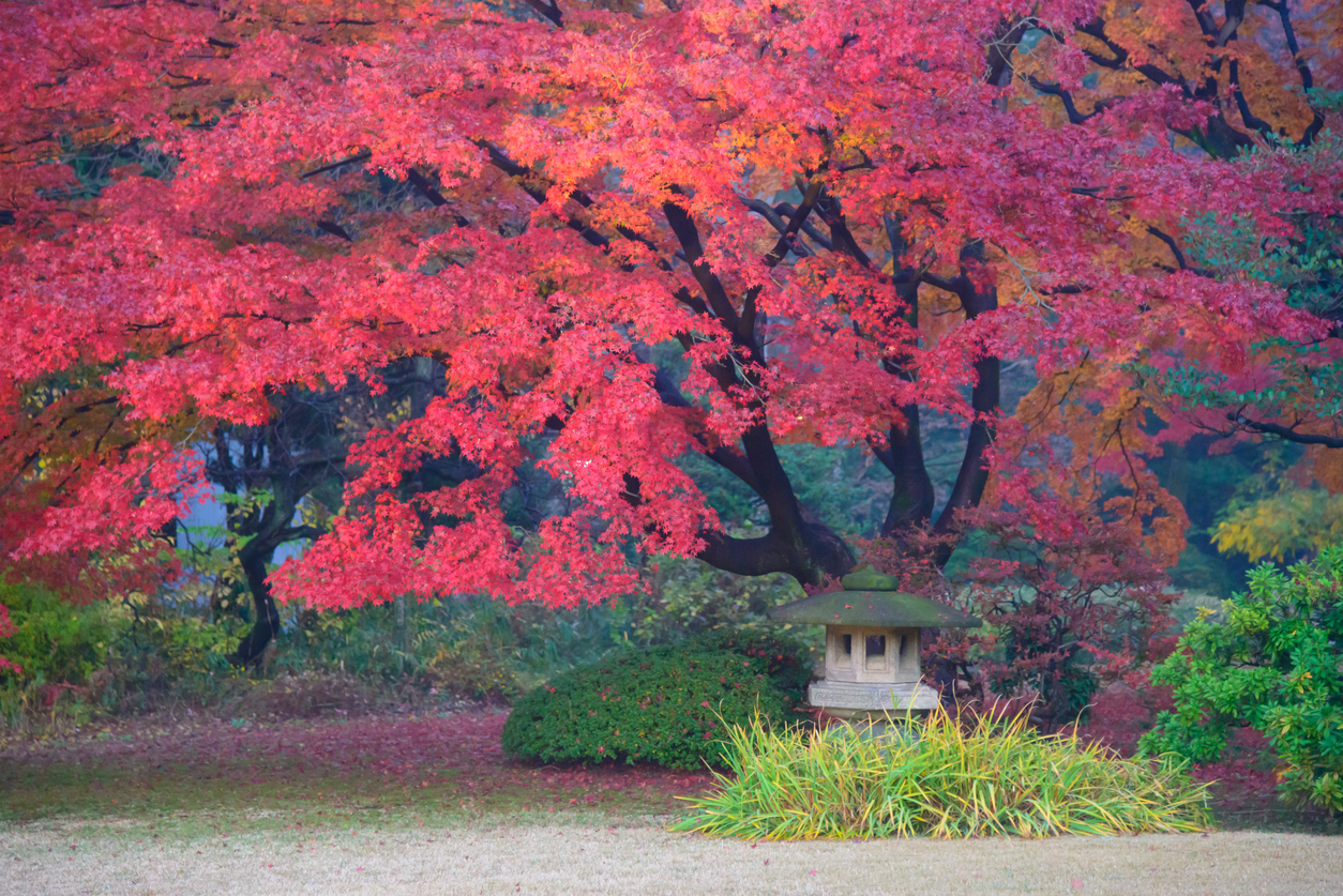
Located a short walk (or skip if you’re excited) from Komagome Station, Rikugien Gardens—well known as a top cherry blossom viewing spot, too—don’t skip out on the koyo. In addition to beautiful bridges, colorful trees, and the old Edo vibe, these gardens are renowned for their autumn night light-ups. This year’s illumination is from November 28 to December 9th, beginning at 6 p.m. and finishing at 8:30 p.m. Don’t miss those colors!
 © Photo by Pixta: SUYA
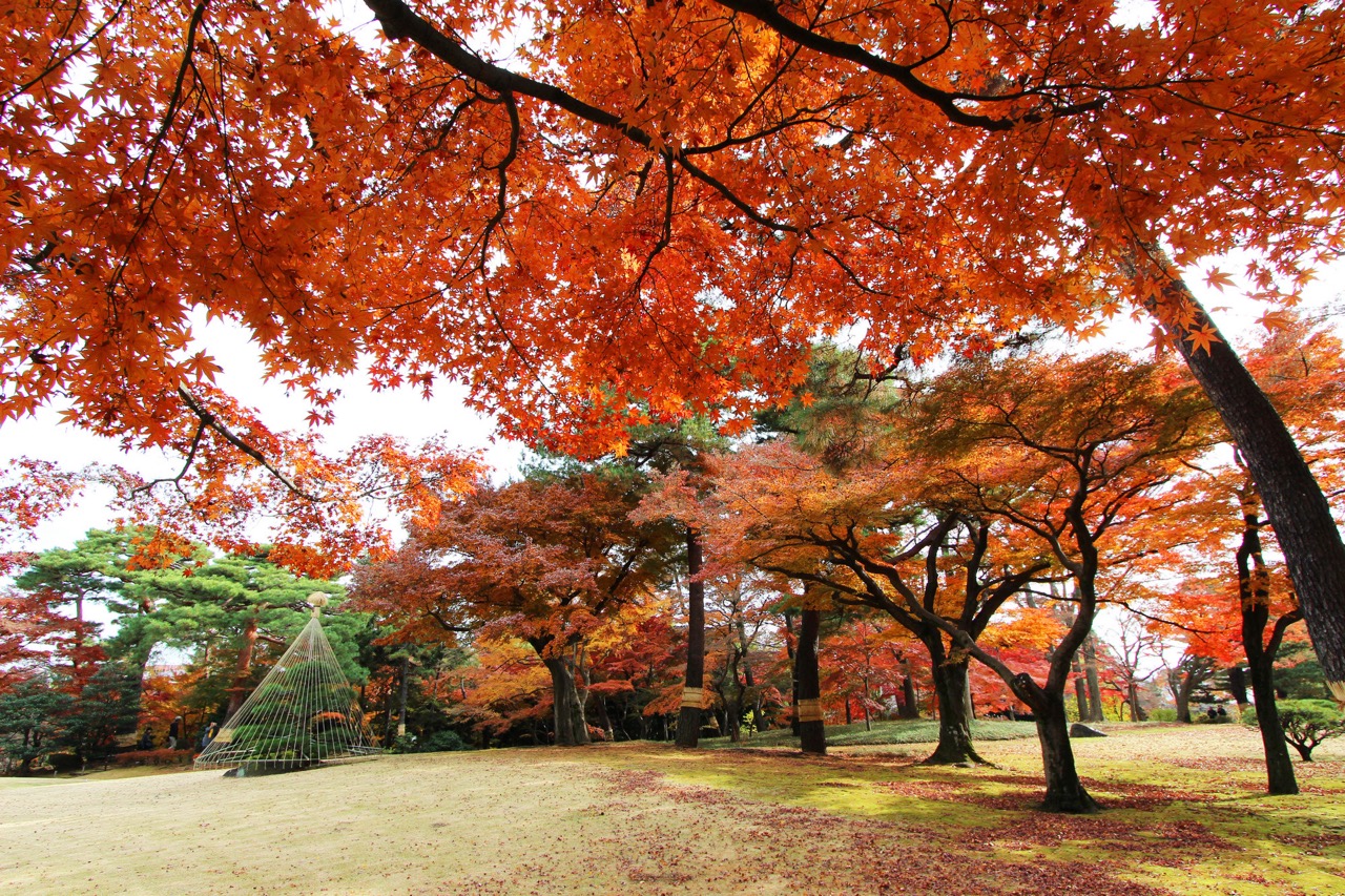
Worth a trip to Kokubunji? Yes. A thousand times. Type the name of this garden into Google images and you’ll see why. Complete with garden tunnels, secluded pathways, bamboo forests and a lovely koi pond, Tonogayato Garden is only a 20-minute Chuo rapid line ride away from the fast-paced, concrete jungle of Shinjuku. An escape if there ever was one.
 © Photo by iStock: tawatchaiprakobkit
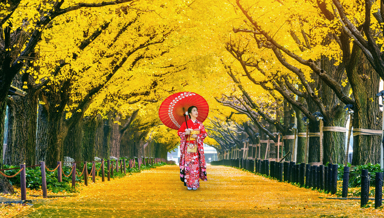
If yellow is your color, especially after all the reds you’ll see from maples elsewhere, Icho Namiki, otherwise known as Ginkgo Avenue, is a must-see, must-go-to koyo location. Icho Namiki is not a park or a garden, but a street lined with tall ginkgo trees on either side. Located near both Gaienmae and Aoyama-Itchome Stations, this spot is easy to find and has been crowned one of the top koyo spots in Tokyo and Japan according to a local autumn foliage website for years. The annual Icho Namiki festival is also a must-see—it runs from the end of November through early December. If you work in central Tokyo, most probably you’ll just happen to catch sight of it during your autumn morning commute. Breathe in that yellow!
 © Photo by iStock: YUJISTYLE
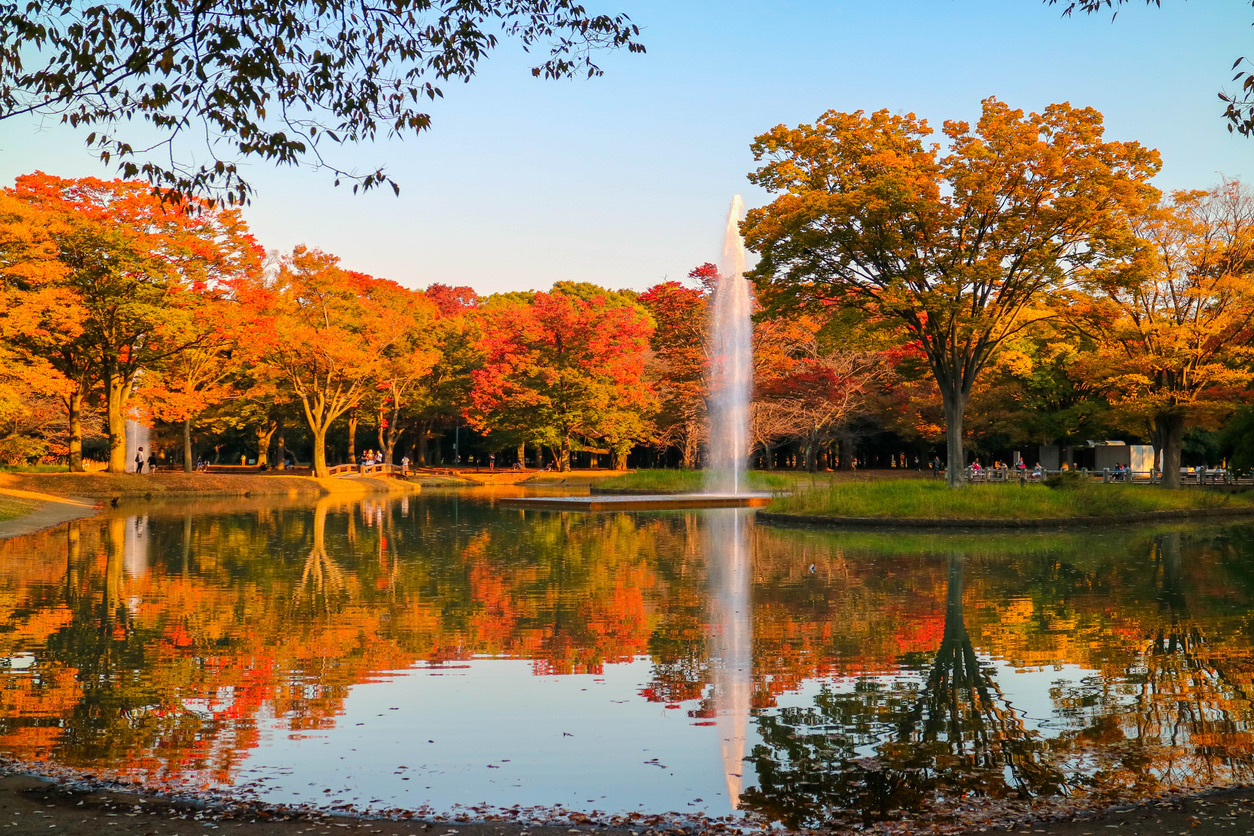
The best place to chill year-round? Yoyogi Park. Bring a group of friends, a French bulldog, some blankets, a six-pack of cider and pop a squat for some momijigari (autumn leaves viewing). Of the places in Tokyo to see foliage, this is a place where you can kick back and take it all in at your own pace. Yoyogi Park, for those of you not in the know, is about a five-minute walk from Harajuku Station. Keep a day or two open this fall for an impromptu koyo sesh.
 © Photo by iStock: magicflute002
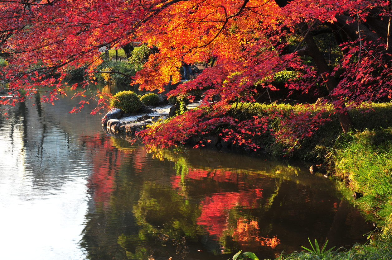
Right next door to Tokyo Dome, this garden is worth visiting any time of the year, but it’s really autumn that brings out the most splendid sights of it. Created in the early Edo Period, the garden has a number of manmade hills, ponds, bridges, paths and viewing points, highlighting the golden yellow leaves of its gingko trees, along with the varied shades of orange and red on the maple trees. A wonderful destination for a romantic autumn walk or a day out with the whole family.
 © Photo by iStock: kitchakron
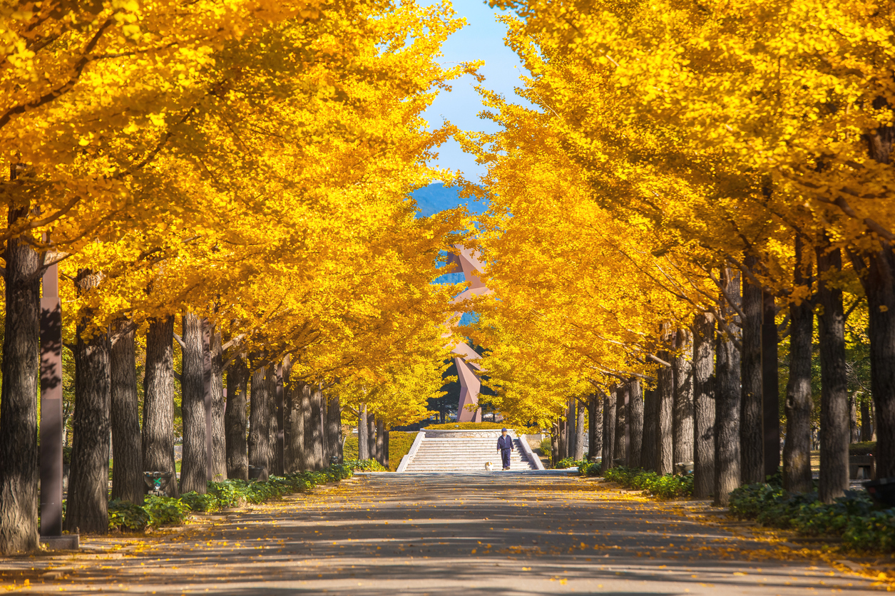
Tachikawa’s Showa Memorial Park is heaven for family outings at any given time of the year: there’s flower viewing, picnicking, playing sports, barbecuing, water play and so much more. But when autumn kicks in, the park transforms into a breathtaking location for an afternoon walk through the splendid colors of all forms and kinds. Enjoy the autumn by renting a bike and cycling around some of the park’s 14 kilometers of paths, or rent a paddleboat and watch the yellow, red and orange trees from the lake. One of Tokyo’s best-kept secrets, this park will never disappoint, especially in autumn.
 © Photo by iStock: oasis2me
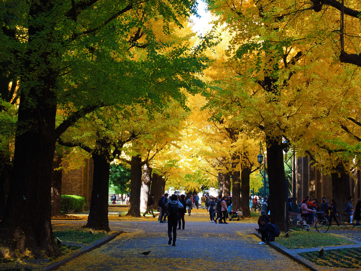
Created in 1906, the University of Tokyo’s beautiful ginkgo avenue is lined with trees transplanted from the Koishikawa Botanical Garden. Originally, ginkgo trees weren’t commonly used for street landscaping, so they were pretty unique at the time. As it was lengthened over the years, even more ginkgo trees were added, and by the time Yasuda Auditorium was completed at the end of the avenue in 1925, the project was finally realized. A stroll down this avenue in the fall is definitely a must-do!
 © Photo by iStock: magicflute002
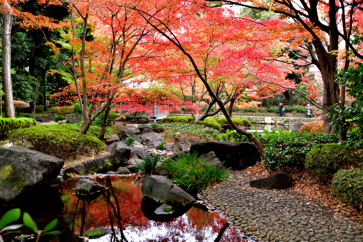
This beautiful Japanese garden, located in Suginami Ward, was developed in 1981 on the former home of music critic Otaguro Motoo. The rows of ginkgo trees and over 100-year-old maples are absolutely stunning when they change colors! Don’t miss the charming Western-style building that Otaguro built as his workroom back in 1933. It’s now a memorial museum, and you can see things like his cherished 1900 Steinway piano. This park is the perfect mix of nature and history.
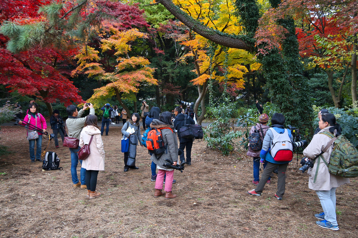 © Photo by iStock: tupungato
A popular destination for locals and tourists, Shinjuku Gyoen is a breathtaking, vast garden that, in our modest opinion, is most splendid when colored in red. Take a stroll through the park’s endless alleys, have a rest on a bench and enjoy this vivid natural scene that is beyond gorgeous. Though Shinjuku Gyoen has three different gardens—English, French and Japanese—the autumn leaves are particularly stunning in the Japanese garden and Momijiyama (maple mountain) on the park’s eastern side.
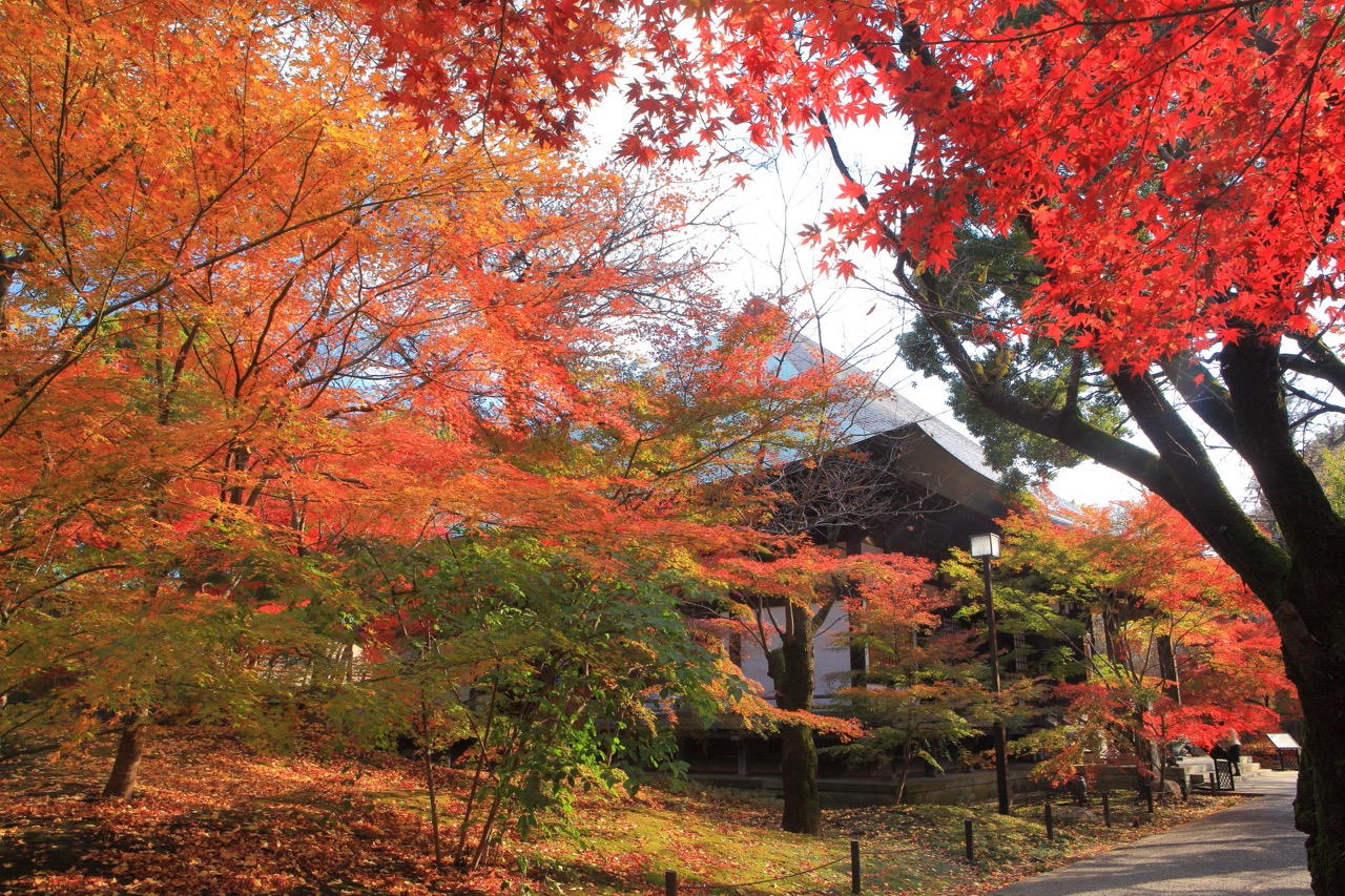 © Photo by Pixta: kazukiatuko
Feel a sense of calm wash over you as you walk through the Niomon Gate, entering the Kuhonbutsu Joshin Temple. As you explore the temple grounds, you can take your time soaking in the beautiful autumn leaves alongside classic temple scenery. It’s the kind of place where you can just unwind and appreciate nature’s beauty and spirit. Honestly, you can start enjoying the autumn vibes right after you step out of Kuhombutsu Station! It’s a hidden gem you won’t want to miss this fall.
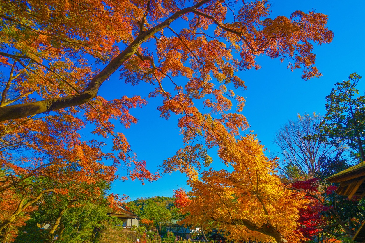 © Photo by iStock: kanzilyou
Think bridges, maples, ponds, historic buildings and a Kyoto vibe. This traditional Japanese garden in Yokohama is beautiful in any season but especially vibrant in autumn. The inside of the houses is open to the public, so you can feel free to take a peek and submerge yourself in the historic site. Accessible by bus from JR Yokohama Station and JR Negishi Station, this location is ideal for those seeking some happy Edo inspiration.
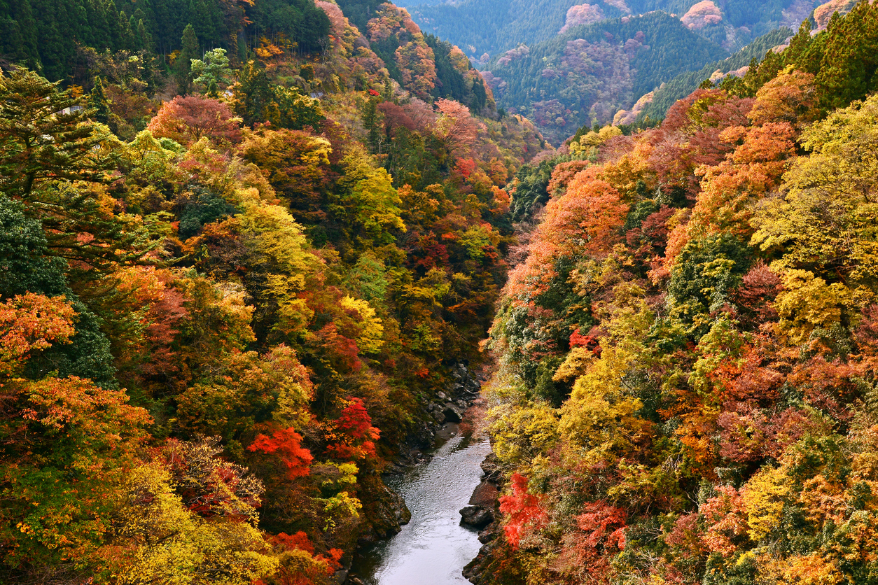 © Photo by iStock: nabe133
A lot of trees. A lot of autumn leaves. The folks in Saitama are familiar with the spoils of this lovely national park. For those in Tokyo, this is a simple day trip away. Because this park is huge, there is a lot to do—even nearby mountains to hike, such as Mt. Mitsumine and Mount Mitake—both of which have beautiful shrines at their summits. Also in the area is the Nagatoro Valley, a beautiful locale famous for its foliage reflections in the Arakawa River. If boats are your thing, you can even drift downstream in one.
P.S. Beware of cute bears!
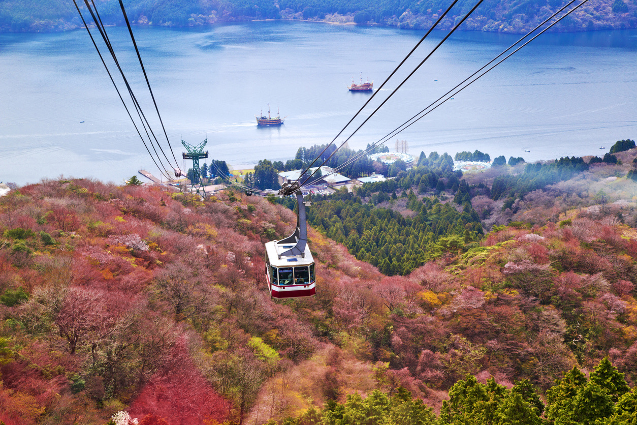 © Photo by iStock: thanyarat07
Hakone claims to have the best autumn colors in Japan, and while we thought the glorious spot belonged to Kyoto, a walk through Gora is enough to persuade you that they’re not joking. Start your autumn journey at Lake Ashinoko, then stop by Sengokuhara, where you can enjoy the colors as you play golf or relax in an onsen, then head to Gora and Kowakudani, the natural hot springs resort.
The ultimate autumn view, however, is at Gora’s Hakone Museum of Art, where the leaves are reflected in every object, pond and bamboo tree in the museum’s vast garden. If that’s not enough, find your way toward the nearby Hakone Gora Park, a spot where you can enjoy the autumn colors while sipping a traditionally brewed cup of hot green tea.
Koyo doesn’t last forever, so be sure to catch it before it “leaves!”


